| « Top |
Big Bend - November 2006
|
Next » |
Date:
9 November - 10 November 2006
Route:
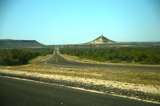
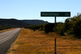
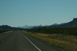
» Austin to Big Bend via US 290 and I-10
» Grape Vine Hills Road, Glenn Springs Road, River Road East
Log:
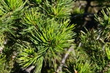
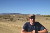
Mike and I try to go on at least one camping trip per year, although our schedules haven't really lined up in the last few years. Previous trips have included backpacking the Jordan River Pathway in Michigan, a road trip through Texas, New Mexico and Arizona, Enchanted Rock in Texas, Guadalupe Mountains National Park, and Seminole Canyon near Del Rio. We originally planned a return to the Guadalupe Mountains this year to finish climbing Guadalupe Peak -- our previous attempt at climbing the mountain in 2001 was postponed do to hurricane force winds that nearly blew us off the mountain -- but various aching joints scuttled that idea. So, we went to Big Bend National Park instead -- one of Rob's favorite places on Earth.
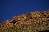
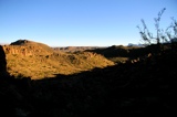
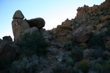
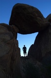
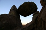
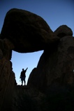
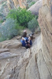
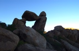
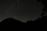
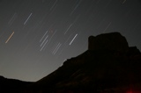
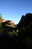
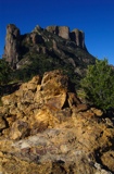
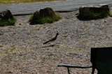
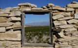
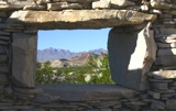
We left Austin early Thursday morning, and arrived at the park later that afternoon. We immediately hit the Grapevine Hills trail to hike out to a natural rock window formed by boulders. We arrived at the window at sunset, and it was dark by the time we got back to our Dad's truck, which he had loaned us for the trip. We drove up to the Basin -- a valley in the Chisos Mountains that is ringed by peaks -- and set up our tent in the dark. We finished up the evening by taking photos of star trails -- timed exposure shots of the night sky.
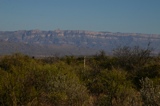
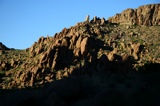
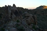
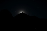
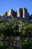
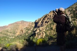
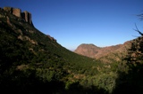
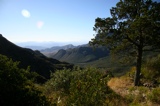
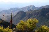
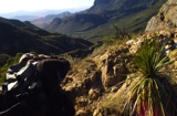
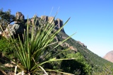
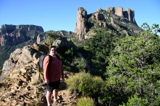
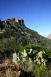
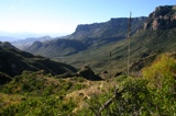
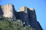
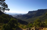
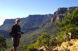
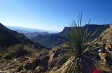
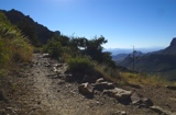
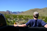
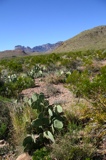
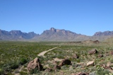
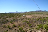
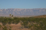
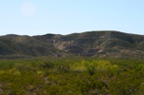
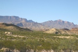
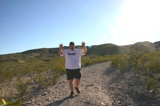
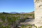
The next day we got up and hiked the Lost Mine Trail. This hike skirts the flank of the extremely photogenic Casa Grande Peak, and provides great views of the Chisos Mountains, the Sierra Quemada, and all the way into Mexico. This is one of the most popular hikes in the park, and Rob has never been able to find space in the trailhead parking lot before this, so he was excited to finally hike it.
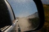
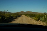
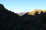
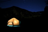
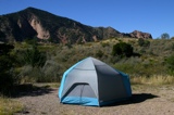
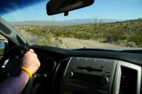
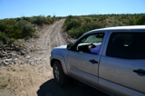
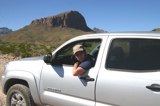
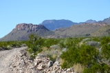
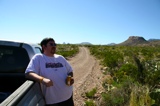
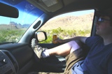
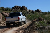
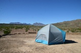
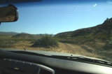
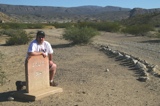
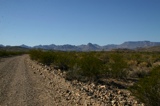
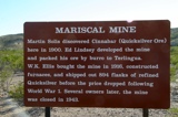
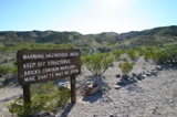
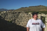
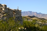
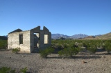
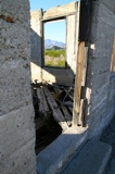
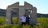
After the hike, we got a backcountry permit to camp at one of the primitive roadside campgrounds. We wanted to stay at the Elephant Tusk campground, but it was occupied. Ditto for the campsite near the ruins of the old Mariscal Mine. We ended up camping near the ruins of Glenn Springs -- a small town that was raided by followers of Pancho Villa in 1916. The park has some 100 miles of primitive roads best accessed by high clearance or 4X4 vehicles. Driving to camp was a lot of fun, and we got to experience a part of park that most visitors never see.
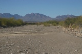
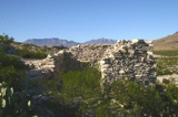
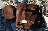
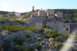
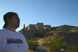
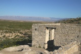
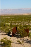
After settng up camp, we travelled down the River Road to the ruins of an old quicksilver mine, still well preserved by the dry desert air 60 years after it was abandoned. The number of ruins and historical artifacts that remain in the park is incredible.

|
|
|
|
|
|
|
|

|
|
|
|
|
|
|
|
|
|
|
|

|
|
|
|
|
|
|
|
|
|
|
|
|
|
|
|
|
|
|
|
|
|
|
|
|

|
|
|
|
|
|
|

|
|
|
|
|
|
|
|
|
|
|
|
|
|
|
|
|
|
|
|
|
|
|
|
|
|
|
|
|
|
|

|
|
|
|
|
| « Top | Next » |